
ABOUT PARKER SURVEYS
Surveying built around reliable control
Conventional land surveying combined with modern spatial-data workflows, delivering outputs that engineers, planners and designers can rely on.
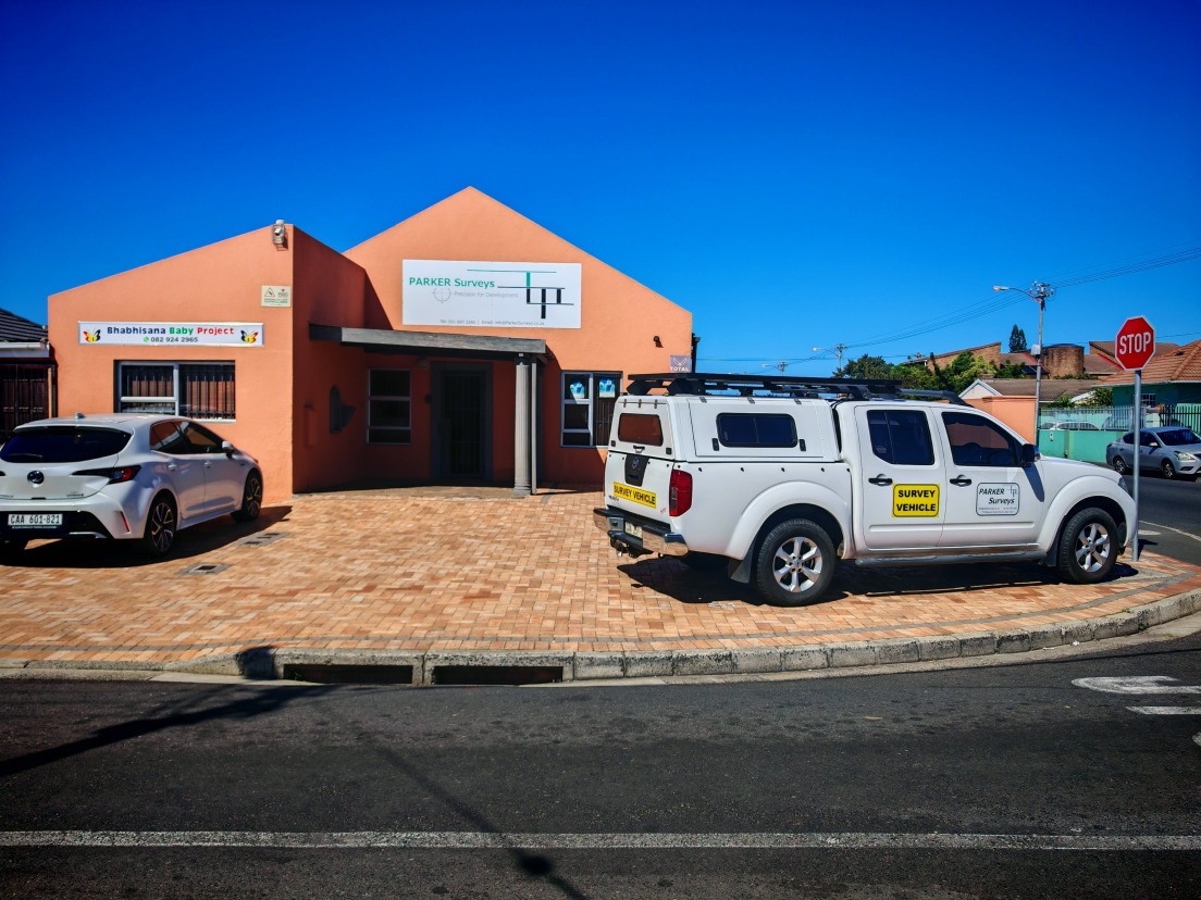
Parker Surveys is a Cape Town-based surveying practice providing cadastral, engineering, topographical and geospatial services to consulting engineers, developers, contractors and public-sector clients.
Our work combines conventional land surveying with modern spatial-data workflows, including GNSS control, precise levelling, terrestrial laser scanning and georeferenced subsurface investigation.
We place particular emphasis on reliable survey control, traceable field observations and practical deliverables that can move efficiently into engineering, CAD, GIS and BIM environments.
HOW WE WORK
Methodical, traceable and practical
Approach
Clear scoping, robust control and methodical QA. We document assumptions and provide traceable metadata.
Technology
GNSS, total stations, laser scanners and CAD/GIS workflows to produce accurate, consistent datasets.
Clients
Consulting engineers, architects, developers and public entities across the Western Cape, including services on the national road network in the Western, Northern and Eastern Cape.
“Parker Surveys provided a well-structured TMH11 dataset and responded quickly to design queries.”
— Project Engineer, Roads & Transport
Work with Parker Surveys
Send your scope and drawings — we'll confirm control, deliverables and timelines.

© 2025 Parker Surveys. All rights reserved.